But the trail certainly rewards those who desire something authentic. Holy Kailash Tours has been assisting travellers in planning their Himalayan trips for many years, and it is exactly this kind of detail that we provide to our own clients even before they make a booking.
If you've been trekking in Nepal for a while, chances are someone has whispered to you about the Manaslu Circuit. And if you haven't heard of it yet — well, you're about to fall in love with a trail that most people still don't know exists.
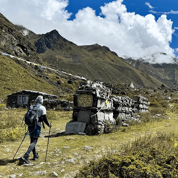
I've spent a lot of time around trekkers and guides in Nepal, and the ones who've done the Manaslu Circuit trek all say the same thing: it's different. The trail is rawer, the villages are quieter, and the mountains feel closer somehow. You're walking through places that haven't been polished for tourism yet — and that's exactly the point.
This guide covers everything you need to know before you go: what the trek looks like day to day, how hard it really is, when to go, what permits you need, what to pack, and whether it's right for you. No fluff, just honest information.
Key Highlights of the Manaslu Trek
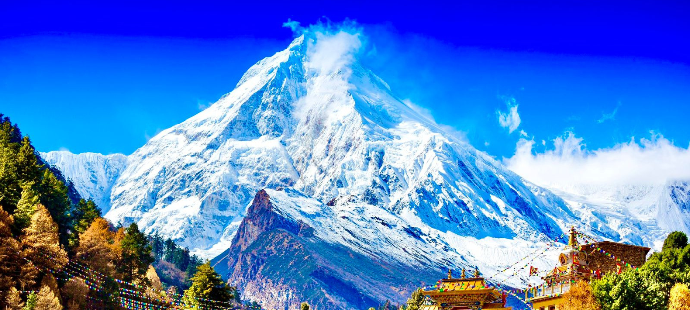
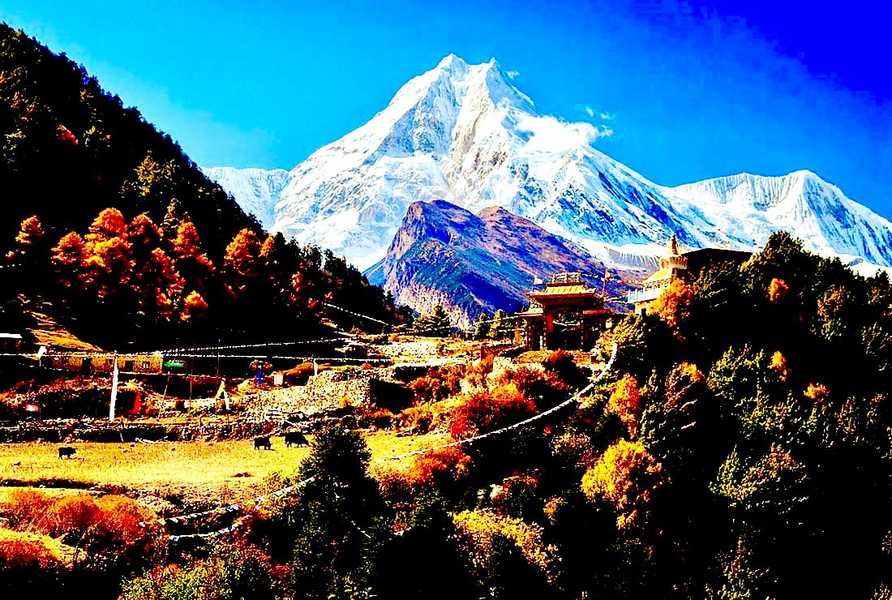
- Complete the Iconic Circuit: Circumnavigate the majestic Mount Manaslu, the "Mountain of the Spirit."
- Conquer the Larkya La Pass: A challenging and exhilarating crossing at over 5,100m with breathtaking panoramic views.
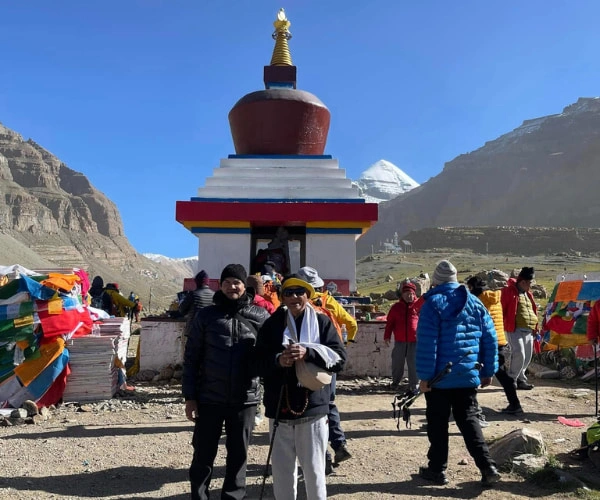
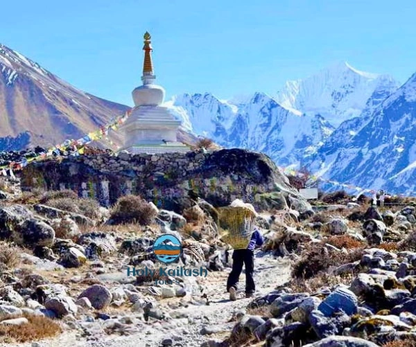
- Cultural Immersion: Experience the unique Tibetan Buddhist culture in villages like Sama Gaon and Samdo.
- Diverse Landscapes: Traverse from subtropical lowlands to arid high deserts, past massive glaciers like Birendra Kund.
- Less Crowded Trails: Enjoy the serenity of a restricted area trail compared to the classic teahouse treks.
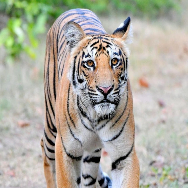
- Wildlife Sightings: Potential to spot rare species like the Himalayan Tahr, Blue Sheep, and various pheasants.
Manaslu Circuit Trek Detailed Itinerary

Day 1: Drive from Kathmandu to Machha Khola (930 m | 9 hours)
The journey begins with a long but scenic drive from Kathmandu to Machha Khola, following winding mountain roads alongside rivers and terraced hills. Leaving the busy Kathmandu Valley, the road gradually moves into rural Nepal, passing small towns, suspension bridges, and lush forests. The drive follows the Trishuli and later the Budhi Gandaki River, offering views of waterfalls and steep gorges. Although the road can be rough and dusty, it gives a first glimpse of life in remote Himalayan regions. Machha Khola is a small riverside village where trekkers rest overnight and prepare for the trek ahead.
Max. Altitude: 930m (3,051ft)Duration: 9 hours
Day 2: Trek from Machha Khola to Jagat (1,340 m | 6 hours)
The trek starts along the Budhi Gandaki River, crossing suspension bridges and narrow trails carved into rocky cliffs. The path passes through forests, hot springs at Tatopani, and small settlements where locals farm and trade. The trail includes several ascents and descents, making the day moderately challenging. As you gain altitude, the landscape slowly changes, and the valley becomes narrower. Jagat is a charming stone-paved village and an official checkpoint for the Manaslu Conservation Area. The village reflects Tibetan-influenced culture, with prayer flags and traditional houses adding to its unique atmosphere.
Max. Altitude: 1,340m (4,396ft)Duration: 6 hours
Day 3: Trek from Jagat to Deng (1,804 m | 6 hours)
From Jagat, the trail climbs steadily through terraced fields and forested paths. The route passes through villages like Sirdibas and Philim, which are larger settlements with schools and monasteries. The Budhi Gandaki River remains a constant companion, sometimes roaring far below the trail. The vegetation becomes denser, and bamboo forests appear along the way. After crossing several bridges and steep sections, the trek reaches Deng, a small village surrounded by hills. The cultural influence becomes more Tibetan here, visible in mani walls, prayer wheels, and traditional stone houses.
Max. Altitude: 1,804m (5,918ft)Duration: 6 hours
Day 4: Trek from Deng to Namrung (2,630 m | 6 hours)
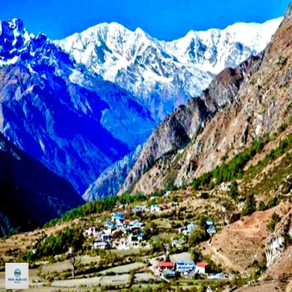
Today’s trek involves a noticeable gain in altitude as the trail enters a more alpine environment. The path climbs through forests of pine and rhododendron while crossing the Budhi Gandaki several times. The trail passes isolated settlements and long mani walls carved with Buddhist prayers. As the air becomes cooler, snow-capped peaks begin to appear in the distance. Namrung is a beautiful village with stone houses, mountain views, and a peaceful atmosphere. From here, the region feels distinctly Himalayan, and trekkers begin to experience stronger Tibetan cultural traditions and architecture.
Max. Altitude: 2,630m (8,628ft)Duration: 6 hours
Day 5: Trek from Namrung to Shyala (3,575 m | 6 hours)
The trek from Namrung to Shyala is one of the most scenic days on the trail. The route passes through villages like Lho, home to a large monastery with stunning views of Mount Manaslu. The landscape opens into wide valleys surrounded by towering snow-covered peaks. The trail is gradual but steady, allowing time to enjoy the surroundings. Shyala is set in an open alpine basin with incredible panoramic views of Manaslu, Himal Chuli, and other peaks. The high altitude and cold air signal that the trek is moving into more challenging terrain.
Max. Altitude: 3,575m (11,729ft)Duration: 6 hours
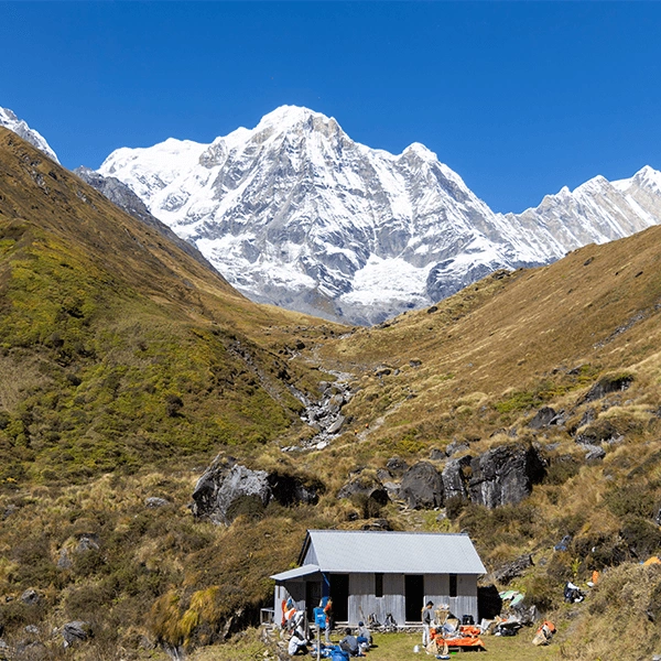
Day 6: Trek from Shyala to Sama Gaun (3,530 m | 4 hours)
This shorter trekking day allows for a relaxed pace and better acclimatization. The trail gently descends and then levels out across a wide valley with grazing yaks and prayer flags fluttering in the wind. Sama Gaun is one of the largest villages in the Manaslu region and serves as an important acclimatization stop. The village has monasteries, shops, and traditional stone houses. Surrounded by massive mountains, Sama Gaun offers spectacular views and a strong Tibetan Buddhist atmosphere. Trekkers often spend time exploring the village and resting to prepare for higher elevations.
Max. Altitude: 3,530m (11,581ft)Duration: 4 hours
Day 7: Acclimatization Day in Sama Gaun (4,400 m | 7 hours)
This acclimatization day helps the body adjust to altitude. Trekkers can choose a hike to Manaslu Base Camp or Pungyen Gompa. The Manaslu Base Camp route offers close-up views of glaciers and the massive Manaslu peak, while Pungyen Gompa provides a spiritual experience with peaceful surroundings and mountain scenery. Both hikes involve a significant elevation gain and return to Sama Gaun for the night. The day is physically demanding but essential for reducing the risk of altitude sickness. Rest, hydration, and slow movement are very important.
Max. Altitude: 4,400m (14,435ft)Duration: 7 hours
Day 8: Trek from Sama Gaun to Samdo (3,865 m | 3 hours)
The trek to Samdo is relatively short and gradual, allowing trekkers to conserve energy. The trail follows a wide valley with sparse vegetation and dramatic mountain scenery. The environment feels more barren, with strong winds and colder temperatures. Samdo is a small Tibetan refugee village near the border with Tibet and has a strong cultural identity. Life here is simple, and many locals are involved in trade and yak herding. The surrounding peaks and glacial landscapes create a remote and rugged feeling, making Samdo one of the most memorable stops on the trek.
Max. Altitude: 3,865m (12,680ft)Duration: 3 hours
Day 9: Acclimatization Day in Samdo (5,000 m | 8 hours)
Another acclimatization day is spent hiking toward the Tibetan border. The trail climbs steadily to a high viewpoint offering dramatic views of surrounding peaks and ancient trade routes. This hike helps the body adapt to higher altitudes in preparation for crossing Larkya Pass. The terrain is rocky and exposed, with little vegetation. After reaching the highest point, trekkers return to Samdo for rest. The day is long and physically demanding, but it significantly improves acclimatization. Proper pacing, warm clothing, and hydration are essential during this high-altitude hike.
Max. Altitude: 5,000m (16,404ft)Duration: 8 hours
Day 10: Trek from Samdo to Dharmasala (4,460 m | 4 hours)
The trail from Samdo to Dharmasala gradually climbs through glacial moraines and rocky landscapes. The surroundings become more dramatic and desolate, with towering peaks and icy winds. Dharmasala, also known as Larkya Phedi, is a basic settlement used primarily as a resting point before crossing Larkya Pass. Accommodation here is simple, and temperatures can be very cold. Trekkers are advised to rest early, eat well, and prepare their gear for the long and challenging day ahead. This day is crucial for conserving energy before the pass crossing.
Max. Altitude: 4,460m (14,632ft)Duration: 4 hours
Day 11: Trek from Dharmasala to Bimthang via Larkya Pass (3,590 m | 10 hours)
This is the most demanding and rewarding day of the trek. The climb to Larkya Pass is long and steep, often involving snow and icy conditions. Reaching the pass at 5,160 meters offers breathtaking panoramic views of Himlung, Cheo Himal, and Annapurna II. After celebrating at the pass, the trail descends steeply across glaciers and rocky terrain to Bimthang. The descent is long but scenic, with changing landscapes and warmer air. Bimthang is a beautiful alpine valley where trekkers finally relax after a challenging but unforgettable day.
Max. Altitude: 3,590m (11,778ft)Duration: 10 hours
Day 12: Trek from Bimthang to Dharapani (1,860 m | 7 hours)
The trail descends steadily from alpine terrain into forests of pine, oak, and rhododendron. As altitude decreases, vegetation becomes richer, and the climate feels warmer. The route passes through meadows, rivers, and small villages, offering a contrast to the harsh high-altitude environment of previous days. Dharapani is a larger village that connects the Manaslu Circuit with the Annapurna region. The village has better facilities and a lively atmosphere. This day marks a return to more populated areas and signals the approaching end of the trekking adventure.
Max. Altitude: 1,860m (6,102ft)Duration: 7 hours
Day 13: Drive from Dharapani to Kathmandu or Pokhara (7 hours)
The trek concludes with a scenic drive from Dharapani back to Kathmandu or Pokhara. The road passes through hills, rivers, and rural settlements, gradually returning to city life. After days in remote mountain regions, the comforts of urban areas feel rewarding. The drive offers time to reflect on the journey, the challenges faced, and the incredible landscapes experienced. Reaching Kathmandu or Pokhara marks the official end of the Manaslu Circuit Trek, leaving trekkers with lasting memories of Himalayan culture, high mountain passes, and one of Nepal’s most spectacular trekking routes.
Cost Details
What’s Included
- All airport/hotel transfers in a private vehicle.
- 3-star hotel accommodation in Kathmandu with breakfast.
- Basic twin-sharing teahouse/lodge accommodation during the trek.
- All standard meals (Breakfast, Lunch, Dinner) during the trek.
- All necessary trekking permits (RAP, MCAP, ACAP, and TIMS).
- An experienced, licensed, English-speaking Trek Leader and support staff (porters, 1 porter for 2 clients).
- Comprehensive first-aid kit, company duffel bag, and sleeping bag (if needed).
- All government taxes, VAT, and official expenses.
What’s Not Included
- International airfare and Nepal entry visa fee.
- Lunches and dinners in Kathmandu (except farewell dinner).
- Travel and medical insurance (mandatory, must cover high-altitude evacuation).
- Personal expenses (laundry, bar bills, battery charging, hot shower, Wi-Fi).
- Tips for guides and porters (highly appreciated).
- Any extra costs incurred due to unforeseen circumstances (flight delays, political unrest, etc.).
Manaslu Circuit Trek Overview
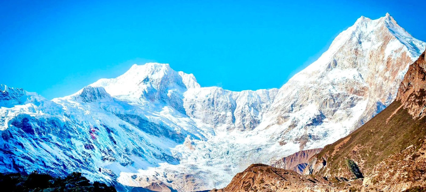
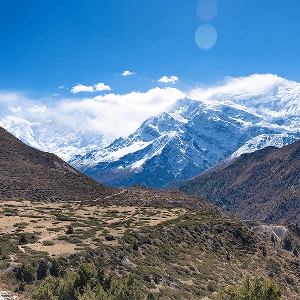
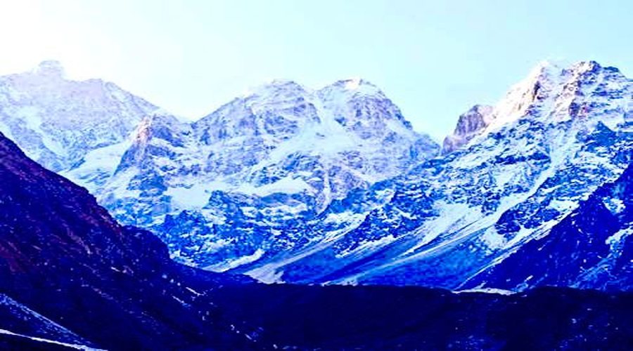
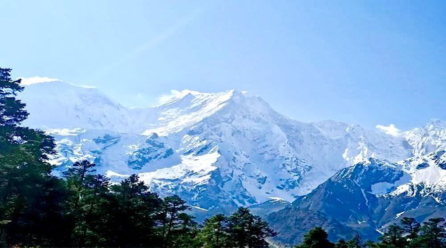
The Manaslu Circuit Trek is a loop trail in the Gorkha District of Nepal that circles around Mount Manaslu — the eighth-highest mountain in the world at 8,163 metres. The route takes you through dense subtropical forests, past roaring glacial rivers, through ancient Tibetan Buddhist villages, and finally over the Larkya La Pass at 5,160 metres before descending into the Annapurna region.
Here's the basic snapshot:
- Total distance: approximately 177 km
- Duration: 14 to 18 days depending on your pace and acclimatization stops
- Highest point: Larkya La Pass at 5,160 m
- Trek starts at: Soti Khola (reached from Arughat, via Kathmandu)
- Trek ends at: Dharapani (connects to the Annapurna Circuit if you want to extend)
- Trek type: Loop / circuit — you don't retrace your steps
What makes this route special compared to Everest Base camp or Annapurna base camp? It's a restricted-area trek. You need a special permit to enter, which limits the number of trekkers on the trail. That restriction is actually one of the best things about it — it keeps the crowds out and the culture intact.
Why Did You Choose the Manaslu Circuit Trek?
That's a question worth asking yourself too, because choosing the right trek in Nepal really comes down to what kind of experience you're after.
The Everest Base Camp trekis iconic, yes — but in peak season you're walking shoulder to shoulder with hundreds of other trekkers. The Annapurna Circuit trek is stunning, but the jeep roads have changed parts of it significantly over the years. The Manaslu Circuit trek feels like what those trails used to be.
Here's what draws most trekkers to Manaslu:
- You get enormous mountain views — Manaslu, Ganesh Himal, Himalchuli, and Ngadi Chuli — without the teahouse queues
- The villages along the trail still follow traditional Tibetan Buddhist lifestyles, and you feel welcomed rather than processed
- The trail passes through the Manaslu Conservation Area, which means the forests and wildlife are genuinely protected
- Crossing Larkya La at 5,160 m is one of the most memorable moments you can have on a Nepal trek — it's hard, it's cold, and it's absolutely worth every step
- You can combine it with the Annapurna Circuit for an incredible two-to-three-week adventure
Simply put if you want the real Nepal trekking experience with a sense of genuine adventure, Manaslu is the answer.
Manaslu Circuit Trek Difficulty
Let's be straight here: the Manaslu Circuit Trek is not an easy walk. It's a proper high-altitude mountain trek, and you should treat it that way.
Most trekking operators rate it as strenuous to challenging. The daily walking hours average around six to eight hours, the terrain includes steep climbs and rough rocky paths, and you'll be spending several days above 3,500 metres where the altitude alone slows you down and makes everything harder.
The Larkya La Pass crossing is the hardest single day of the trek. You typically set off at 3 or 4 in the morning from Dharmasala High Camp (4,460 m), cross the pass (5,160 m), and descend to Bimthang — a journey that can take ten to twelve hours. It's cold, it's steep in places, and the altitude is no joke. But the views from the top are unlike anything else.
That said, the trail isn't technically difficult. You don't need mountaineering skills or special equipment beyond good boots, trekking poles, and warm layers. What you do need is solid cardiovascular fitness, a sensible pace, and a genuine respect for altitude.
Who is this trek NOT suitable for?
- Absolute beginners with no prior trekking experience
- Anyone with unmanaged heart, lung, or blood pressure conditions
- People who can't commit to 6 to 8 hours of walking per day for two weeks
- Anyone who won't take acclimatization seriously
Who can do this trek?
- Trekkers with previous multi-day experience at altitude (Annapurna Base Camp, Langtang, or similar)
- People with good general fitness who have prepared consistently for 2 to 3 months
- Anyone willing to take rest days, go slow, and listen to their body
Manaslu Circuit Trek Best Time
The timing of your trek can make or break the experience, so it's worth getting this right.
Autumn — September to November (Best Overall Season)
This is when most trekkers choose to go, and for good reason. After the monsoon ends in September, the skies clear up almost immediately. The visibility is spectacular — you can see mountains from hundreds of kilometres away on a clear day. Temperatures are cold at night above 4,000 metres but manageable during the day. October is the sweet spot: dry, clear, and not yet bitterly cold.
Spring — March to May (Second Best Season)
Spring brings warmer temperatures at lower elevations and the trail becomes lined with rhododendrons in full bloom — particularly beautiful between Soti Khola and Deng. March can still see icy conditions on Larkya La, so crampons or microspikes are worth packing. By mid-April, afternoon clouds tend to build above 4,000 metres, which can affect visibility on the pass day.
Seasons to Avoid
The monsoon (June to August) brings heavy rain, flash floods, and leeches on the lower trail sections. Landslides are common and several trail sections can be cut off entirely. Winter (December to February) is possible for experienced cold-weather trekkers, but Larkya La is frequently blocked by snow and temperatures at high camp can drop to -20°C or lower.
Manaslu Circuit Trek Altitude and Fitness
Altitude is the single biggest factor you need to prepare for on this trek. The trail starts below 1,000 metres and crosses a pass above 5,000 metres — that's a serious elevation range, and your body needs time to adjust at every stage.
Here are the key elevation points along the route:
- Soti Khola: 710 m
- Jagat: 1,340 m
- Deng: 1,804 m
- Namrung: 2,630 m
- Samagaon: 3,530 m — this is your main acclimatization stop
- Samdo: 3,875 m
- Dharmasala (High Camp): 4,460 m
- Larkya La Pass: 5,160 m — the highest point of the trek
- Bimthang: 3,590 m — descent after the pass
Spend at least two nights at Samagaon. It's tempting to push ahead, especially when the weather is good, but skipping proper acclimatization is the fastest way to get sick and end your trek early. A short acclimatization hike up to the Manaslu Base Camp viewpoint from Samagaon is highly recommended — it ticks the 'climb high, sleep low' box perfectly.
For fitness, you're looking at six to eight hours of walking per day for up to 17 days straight. Start training at least two to three months before your trek. Long-distance hiking, stair climbing, cycling, and running all help. Don't neglect your legs — descents are just as demanding as climbs at this distance.
Manaslu Circuit Trek Food and Accommodation
The Manaslu Circuit is a teahouse trek, meaning you'll sleep in local guesthouses and eat in their dining rooms each evening. It's not luxury by any stretch, but it's comfortable enough and the food is more than adequate for keeping you fuelled.
Where You'll Sleep
Teahouses along the Manaslu Circuit trek range from basic to decent. At lower elevations around Soti Khola and Jagat, guesthouses are relatively comfortable with proper beds, blankets, and sometimes hot showers. Higher up — particularly at Samagaon, Samdo, and Dharmasala — the rooms get more basic. Twin beds, thin mattresses, and shared squat toilets are standard. Bring your own sleeping bag rated to at least -15°C; the teahouse blankets aren't warm enough above 4,000 metres.
Most teahouses have charging points for phones and devices, though you'll often pay a small fee above Samagaon. WiFi exists at some stops but is unreliable — don't count on it.
What You'll Eat
Dal bhat is the backbone of trekker nutrition on the Manaslu Circuit trek, and honestly, once you've eaten it after a long day of walking, you'll understand why it's been fuelling Nepali people for generations. The dhal (lentil soup), bhat (steamed rice), vegetable curry, and pickles combination is incredibly satisfying — and most teahouses give you unlimited refills. It's the best meal on the trail.
Beyond dal bhat, you'll find noodle soups, Tibetan bread, tsampa porridge, eggs, momos (dumplings), pasta, and pancakes at most stops. The further you go up the trail, the more limited the menu gets, so eat well at Samagaon and lower villages. Bring snacks — energy bars, nuts, chocolate, dried fruit — for the higher sections and the Larkya La crossing day.
Stay hydrated. Altitude suppresses thirst but your body is losing moisture constantly. Hot lemon with honey is your best friend up high.
Manaslu Circuit Trek Weather
The weather on the Manaslu Circuit trek changes fast and changes dramatically depending on altitude. What feels like a warm morning at 2,000 metres can become a freezing afternoon at the pass. Being prepared for everything is the only sensible approach.
Autumn (September to November)
Lower elevations (below 2,000 m) are warm and pleasant — 15 to 25°C during the day. Nights cool off significantly from Namrung upward. At Samagaon and above, expect temperatures near or below freezing at night. Larkya La crossing day typically involves temperatures of -10 to -15°C with windchill.
Spring (March to May)
Warmer overall than autumn at lower elevations. But March can bring icy trail conditions above 4,000 metres, and by May the afternoon cloud build-up is frequent. Morning starts are critical for clear views.
Whatever season you trek in, always get a weather update from your guide before the Larkya La crossing. The pass can be dangerous in poor visibility or fresh snowfall. The golden rule: if the weather looks bad, wait.
Manaslu Circuit Trek: Do You Need a Guide?
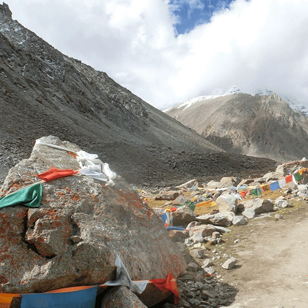
Yes — and it's not optional. The Manaslu region is a government-designated Restricted Area, and Nepal's trekking regulations require all trekkers to have a licensed guide when entering the area. You cannot obtain the Restricted Area Permit independently; it must be processed through a registered trekking agency.
Beyond the legal requirement, having a good guide genuinely enhances the experience. A local guide knows the trail intimately, speaks the language of the villages, can spot early signs of altitude sickness, manages logistics on the ground, and is your emergency contact if something goes wrong in a remote area with no road access.
Should You Hire a Porter Too?
It's entirely your call, but most trekkers who've done Manaslu recommend hiring a porter — especially for the higher sections. Carrying a heavy pack above 4,000 metres increases your physical load significantly, raises the risk of altitude sickness, and tires you out faster. Porters typically charge around USD $20 to $30 per day, which is money well spent. It's also a meaningful source of local income.
How Dangerous Is the Manaslu Circuit Trek?
The honest answer is that the Manaslu Circuit trek comes with real risks — but those risks are manageable if you take the trek seriously and prepare properly.
The biggest danger on any high-altitude trek is Acute Mountain Sickness (AMS). It affects people regardless of age or fitness level, and on the Manaslu Circuit you're spending multiple days at altitudes where it becomes a genuine concern.
The key symptoms to watch for are persistent headache, nausea, dizziness, loss of appetite, and difficulty sleeping. If symptoms worsen rather than improve after rest, the only correct response is to descend.
More severe altitude illnesses — High Altitude Pulmonary Edema (HAPE) and High Altitude Cerebral Edema (HACE) — are medical emergencies. Both can be fatal if not treated immediately with descent and, where available, supplemental oxygen. These are rare but real, and every trekker on this route should know the symptoms.
Other risks include landslides on the lower trail during and after the monsoon season, avalanche exposure near the pass in winter and early spring, and the general risks that come with remote trekking: injury, cold exposure, and limited medical access.
How to Reduce Your Risk
- Never ignore AMS symptoms — rest, hydrate, and descend if they don't improve
- Follow proper acclimatization — two nights at Samagaon as a minimum
- Get comprehensive travel insurance that covers helicopter evacuation before you leave home
- Carry a pulse oximeter and check your blood oxygen levels each morning above 3,500 m
- Trek with a qualified guide who knows how to respond to altitude emergencies
- Consult a doctor about Diamox (acetazolamide) before the trek — it can help with acclimatization
Manaslu Circuit Trek Permits and Cost
The permit structure for the Manaslu Circuit is more involved than most Nepal treks because it passes through a Restricted Area. Here's what you need:
|
Permit
|
Cost (approx.)
|
Notes
|
|
Restricted Area Permit (RAP)
|
USD $100/week (Sept-Nov) / USD $75/week (other months)
|
Minimum group of 2 required
|
|
Manaslu Conservation Area Permit (MCAP)
|
NPR 3,000 (~USD $23)
|
Per person
|
|
Annapurna Conservation Area Permit (ACAP)
|
NPR 3,000 (~USD $23)
|
Only needed if continuing to Dharapani
|
|
TIMS Card
|
USD $20
|
Trekkers' Information Management System
|
All permits are processed through your registered trekking agency in Kathmandu. Bring your original passport — checkpoints along the trail will ask to see it alongside your permits. The RAP requires a minimum group of two trekkers, so if you're planning to go solo, you'll need to join a group or arrange accordingly through your agency.
Bring extra passport-sized photos for the permit applications.
Manaslu Circuit Trek for Beginners
I want to be straight with you here: the Manaslu Circuit trek is not a beginner trek. If you've never trekked before or haven't done any multi-day hiking, this shouldn't be your first trip.
But 'beginner' covers a wide range of people. If you've completed lower-altitude treks in Nepal or elsewhere — Annapurna Base Camp, Langtang Valley, the Everest Three Passes — and you're physically fit, then the Manaslu Circuit trek is genuinely within reach with the right preparation.
What separates trekkers who succeed on this route from those who struggle isn't just fitness. It's attitude. The people who have the best time on the Manaslu Circuit trek are the ones who pace themselves, take their acclimatization days without complaint, eat and drink consistently even when they don't feel hungry, and communicate openly with their guide if something doesn't feel right.
If that sounds like you, then with a few months of dedicated preparation and a good local guide, you can absolutely do this trek.
Manaslu Circuit Trek Distance from Kathmandu
Kathmandu is the starting point for the Manaslu Circuit Trek. From there, you need to get to Soti Khola, which is the traditional trailhead.
By Road (Standard Route)
Most trekkers take a jeep from Kathmandu to Arughat (roughly 7 to 8 hours, about 130 km), then continue to Soti Khola by jeep on a rougher road (another 2 to 3 hours, about 23 km). Total road distance from Kathmandu to the trailhead is around 155 km, but the journey takes the better part of a day due to road conditions. A private jeep is more comfortable and considerably faster than the local buses.
Via Pokhara
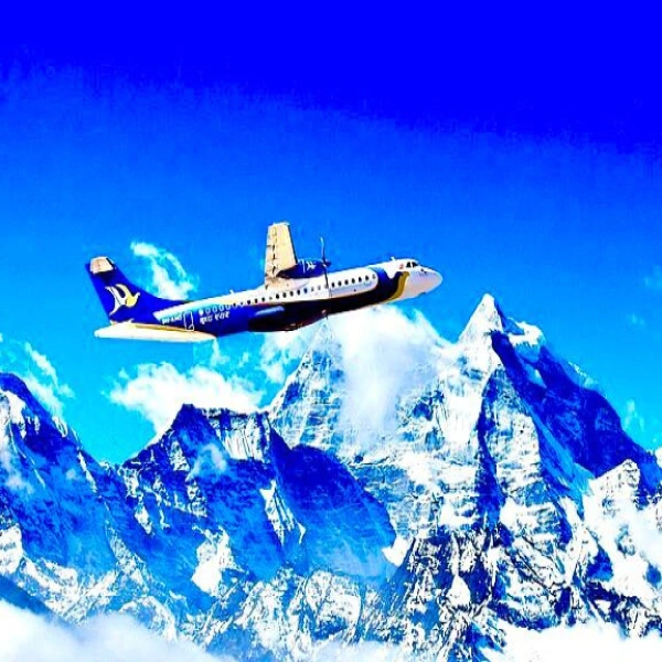
Some trekkers fly from Kathmandu to Pokhara (25 minutes) and then drive to Soti Khola from there — a roughly 4 to 5 hour drive. This works well if you're combining the Manaslu Circuit with the Annapurna region at either end of the trip.
How Difficult Is the Manaslu Circuit Trek?
We touched on difficulty earlier, but since it's one of the most common questions people have, it's worth going section by section.
Days 1 to 3 (Soti Khola to Jagat): Moderate. The trail runs through a river gorge with some steep sections, but you're at low altitude and the distance is manageable. Hot and humid in the lower sections.
Days 4 to 6 (Jagat to Namrung): Moderate to strenuous. The altitude starts to climb noticeably. Trail passes through beautiful forests and villages. Days get longer.
Days 7 to 9 (Namrung to Samagaon): Strenuous. You're above 3,000 metres consistently now. The landscape opens up and Manaslu comes into full view. Take the acclimatization days seriously here.
Days 10 to 12 (Samagaon, Samdo, Dharmasala): Strenuous to very strenuous. You're above 3,500 metres the whole time. Cold nights, limited facilities, and the altitude affects sleep quality for many trekkers.
Day 13 (Larkya La Pass crossing): Very strenuous. The hardest day. An alpine start in the dark, a long climb to 5,160 m, then a long descent. Allow a full day and don't underestimate it.
Days 14 to 15 (Bimthang to Dharapani): Moderate. A long but rewarding descent. Your body breathes easier as the altitude drops and the Annapurna peaks come into view.
Manaslu Circuit Trek Packing List
Packing right makes a significant difference on a trek this long. You want to be warm enough at 5,000 metres without carrying unnecessary weight.
Clothing
- Moisture-wicking base layers, top and bottom — at least two sets
- Fleece or down mid-layer for warmth
- Waterproof and windproof outer shell — both jacket and trousers
- Warm down jacket for evenings and the Larkya La crossing
- Trekking trousers, 2 to 3 pairs
- Thermal underwear for above 4,000 m
- Warm hat that covers your ears, sun hat for lower sections
- Neck gaiter or buff
- Gloves — one thin pair for lower elevations, one thick insulated pair for the pass
- Trekking socks, wool or synthetic — bring 4 to 5 pairs
- Waterproof trekking boots, broken in well before the trek
- Camp shoes or sandals for evenings at teahouses
Gear and Equipment
- Trekking backpack — 60 to 70L if not using a porter, 30 to 35L daypack if you are
- Sleeping bag rated to -15 degrees Celsius
- Trekking poles — invaluable on the descents, especially after the pass
- Headlamp with spare batteries — essential for the early Larkya La start
- Sunglasses with UV400 protection — the glare on snow and ice is intense
- Sunscreen SPF 50+ and lip balm
- Water bottles or hydration bladder, minimum 2-litre capacity
- Water purification tablets or a portable filter
- Crampons or microspikes — recommended for spring or early season crossings
Health and First Aid
- Personal first aid kit — blister plasters, antiseptic, bandages, ibuprofen, paracetamol
- Diamox (acetazolamide) — consult a doctor before the trek
- Rehydration sachets
- Pulse oximeter — check blood oxygen each morning above 3,500 m
- Personal prescription medications with extra supply
Documents and Money
- Original passport — checkpoint staff will check it at multiple points on the trail
- Travel insurance documents including helicopter rescue coverage
- Permits (processed by your agency — carry copies)
- Sufficient cash in Nepali Rupees — there are no ATMs beyond Arughat
- Offline maps downloaded on your phone (Maps.me or OsmAnd cover the route well)
Final Thoughts
The Manaslu Circuit Trek is genuinely one of the finest long-distance treks in Asia. It has everything: great mountains, dramatic passes, authentic villages, and a sense of wilderness that's becoming harder to find in Nepal's increasingly well-trodden trekking corridors.
It's not an easy trek and it shouldn't be treated lightly. The altitude, the remoteness, and the physical demands are real. But if you prepare well, go with a good guide, and treat the mountains with the respect they deserve, you'll come back from this trek having experienced something rare.
The Manaslu Circuit trek rewards patience, physical preparation, and genuine curiosity about the places and people you pass through. Get those three things right and the rest takes care of itself.
If you're planning your Manaslu Circuit Trek, reach out to us — we'll help you put together the right itinerary, sort your permits, and make sure you have the best possible experience on one of Nepal's most special trails.
Frequently Asked Questions
1: How long is the Manaslu Circuit Trek?
Most trekkers complete the Manaslu Circuit in 14 to 18 days. The variation depends on your pace, how many acclimatization rest days you take, and whether you add side trips such as the Manaslu Base Camp or Tsum Valley extension. A 16-day itinerary allows proper acclimatization without rushing.
2: Can I do the Manaslu Circuit without a guide?
No. A licensed guide is a legal requirement for the Manaslu Restricted Area, and the Restricted Area Permit cannot be obtained independently — it must be processed through a registered trekking agency. Beyond the legal requirement, having a guide on this trail is genuinely valuable given the remoteness and altitude involved.
4: How much does the Manaslu Circuit Trek cost?
A fully guided package including permits, guide and porter fees, accommodation, meals, and transportation from Kathmandu typically runs between USD $1,200 and $2,500 per person. Budget trekkers who arrange logistics independently (without a packaged tour) can bring costs down somewhat, but permits and guide fees are fixed costs that apply regardless.
5: Is travel insurance mandatory?
It's not legally mandatory, but treat it as absolutely non-negotiable. Helicopter evacuation from the Manaslu region costs between USD $3,000 and $5,000 without insurance. Comprehensive travel insurance covering emergency helicopter rescue, high-altitude trekking, and medical evacuation is essential before you step on this trail.
6: What is the best month for the Manaslu Circuit Trek?
October is widely considered the best month — clear skies, stable weather, cold but manageable temperatures. The full autumn window from late September to mid-November is excellent. Spring from March to early May is a strong second option, particularly for those who want to see the rhododendron forests in bloom.
7: Is the Manaslu Circuit suitable for beginners?
It depends on the individual. Complete beginners with no trekking background should not attempt this route. However, fit and motivated beginners who have done some multi-day trekking at moderate altitude, prepared consistently for 2 to 3 months, and are willing to go at a sensible pace with a good guide can complete this trek successfully.
8: What permits do I need for the Manaslu Circuit Trek?
You need the Restricted Area Permit (RAP), the Manaslu Conservation Area Permit (MCAP), a TIMS card, and — if you're continuing through to Dharapani — the Annapurna Conservation Area Permit (ACAP). All permits are arranged through your registered trekking agency in Kathmandu.
9: How far is the Manaslu Circuit Trek from Kathmandu?
The trailhead at Soti Khola is approximately 155 km from Kathmandu by road. The drive takes around 9 to 11 hours depending on road conditions and your mode of transport. Most trekking packages include this transportation as part of the overall cost.